
United States of Rising Hazards by Atlas Guo
MEDIUM: Map, Website/App, Data Visualization
DESCRIPTION:
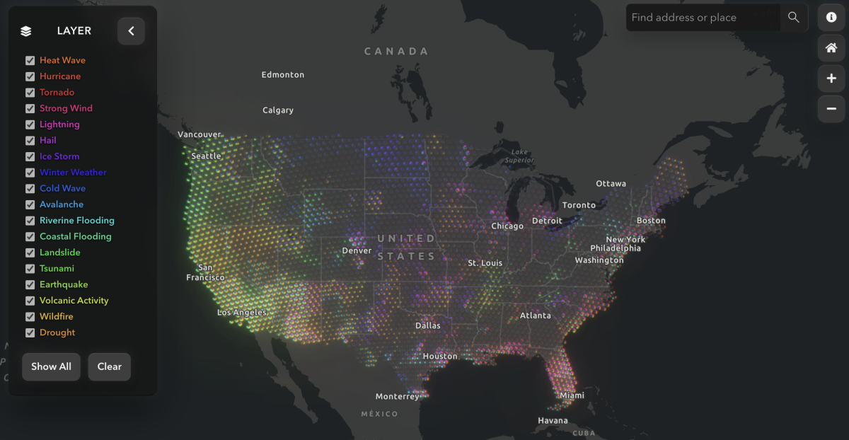
This map is the web version of my static map, United States of Blooming Risks, based on FEMA’s National Risk Index. It presents 18 natural hazards across the United States in an interactive format using multivariate symbols. The interface includes layer toggling, click-based information retrieval, place searching, and a collapsible legend, allowing users to examine both broad national patterns and hazard-specific details. It was also recently updated to support mobile browsing.
ARTIST’S STATEMENT:
This web version extends ideas I had already been developing through earlier static maps and gave me more room to test how multivariate thematic mapping could work in a more flexible digital environment. It is intended for both general audiences and users with professional interests in hazard geography, offering a way to engage with complex risk patterns through a more navigable and approachable interface. More broadly, I see the project as a way of combining science and art, theory and application, and traditional cartography with newer AI-assisted design processes.
This map received Honorable Mention in the David Woodward Digital Map Award of the 52nd CaGIS Map Design Competition, and won the Individual Category in the NACIS 2025 Student Dynamic Map Competition.
View this Map