
LEGO Bathymetric Map of the Great Lakes by Atlas Guo
MEDIUM: Map, Data Visualization, Digital Illustration, Poster
DESCRIPTION:
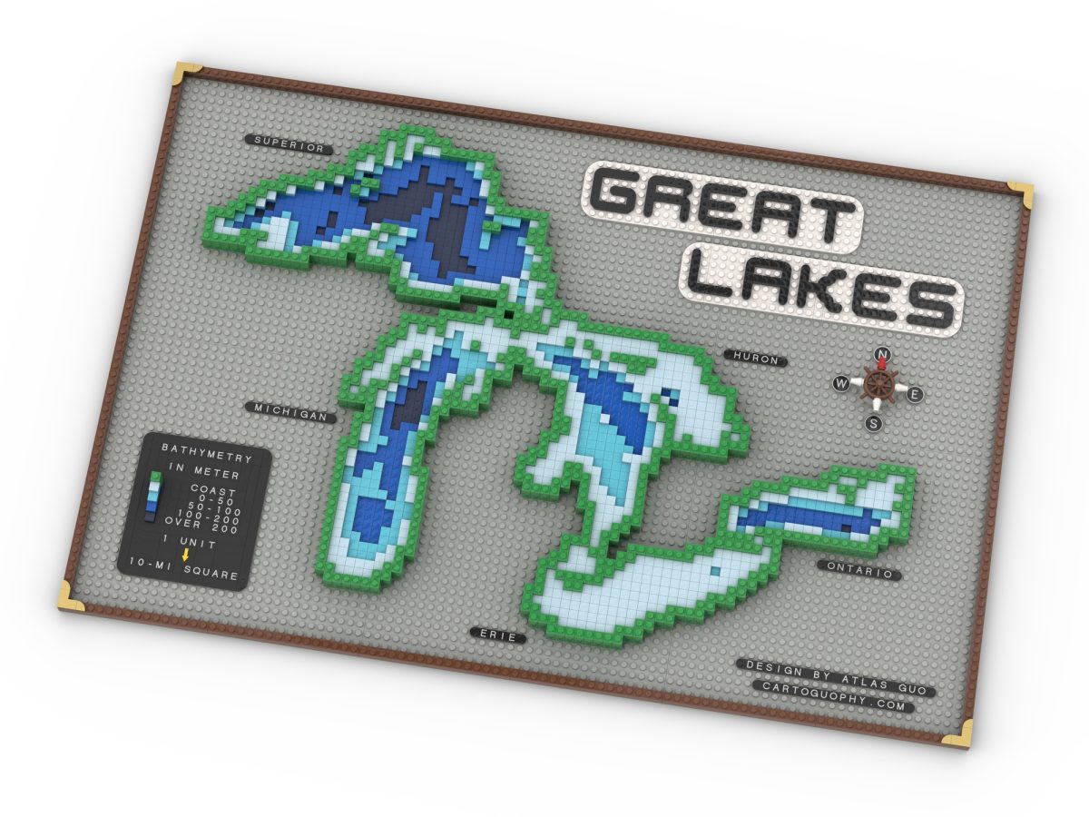
LEGO Bathymetric Map of the Great Lakes is a LEGO-style bathymetric map of the Great Lakes. It uses different colored tiles to represent water depth, with the shorelines of Lakes Superior, Michigan, Huron, Erie, and Ontario recreated through LEGO elements. The composition also includes a bathymetry legend in meters, lake labels, a compass, and a gridded baseplate as a physical map frame.
ARTIST’S STATEMENT:
I created this map to present the Great Lakes through a LEGO visual language while preserving their distinctive shapes and depth patterns. My goal was to make bathymetry feel both clear and engaging, so the piece could support geographic education while also working as a playful and readable reference image.
View this Map