A LEGO Dual View of Britain and Ireland: Natural and Political Geographies by Atlas Guo
MEDIUM:
Map, Data Visualization, Digital Illustration
DESCRIPTION:
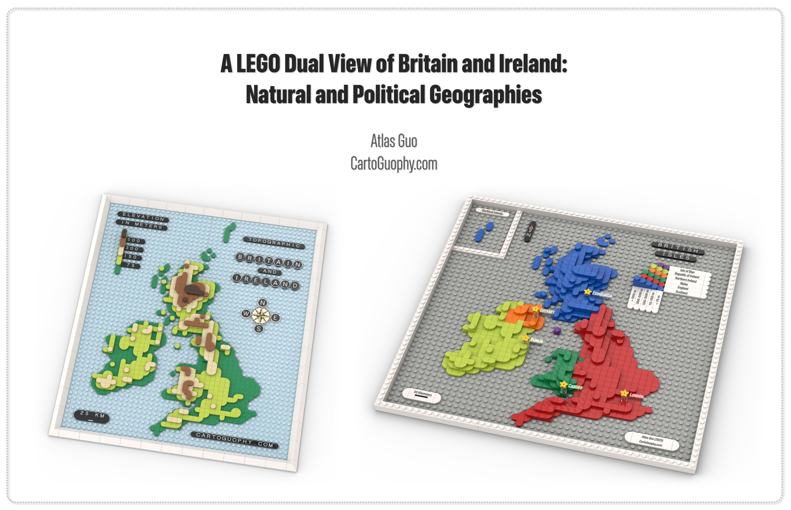
This entry brings together two LEGO-style maps of the same region. One is a topographic map of the British Isles that emphasizes terrain and elevation variation using differently colored curved tiles at varying heights, from mountainous regions to lower landscapes. The other is a political map of the UK and Ireland that distinguishes England, Scotland, Wales, Northern Ireland, the Isle of Man, and the Republic of Ireland through distinct colors and textures while also retaining elevation information.
ARTIST’S STATEMENT:
I created this paired work to show how the same map subject can support two clearly different cartographic designs. Beyond the shared geographic base, I intentionally differentiated many other map elements, including the north arrow, graphic scale, legend, neatline, layout, inset, and textual components, so the two pieces would feel varied and distinct rather than like a rigid duplication. It is intended for viewers interested in Britain and Ireland, LEGO-inspired cartography, and comparative ways of representing place.