
#Sandy by Caroline Rose
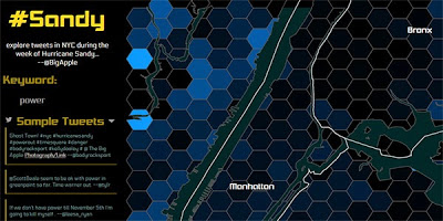
COURSE: Geography 575: Interactive Cartography & Geovisualization
MEDIUM: Interactive Map
DESCRIPTION:
#Sandy is an interactive map designed to help visualize Twitter data in New York City during Hurricane Sandy.
This project is no longer available.